What we do


Research & expertise
We work across the full workflow of structural geology — from outcrop and mine to physical and numerical model.
Salt tectonics
Understanding how salt deforms, flows and shapes the crust — from salt tectonics to salt in energy transition.
Analogue & numerical modelling
Scaled physical experiments to discrete and finite-element models to test how structures form and evolve.
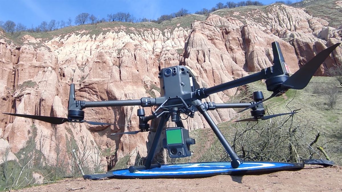
Drone-based mapping
Photogrammetry, LiDAR and multi-sensor UAV surveys — including inside mines and other GPS-denied environments.