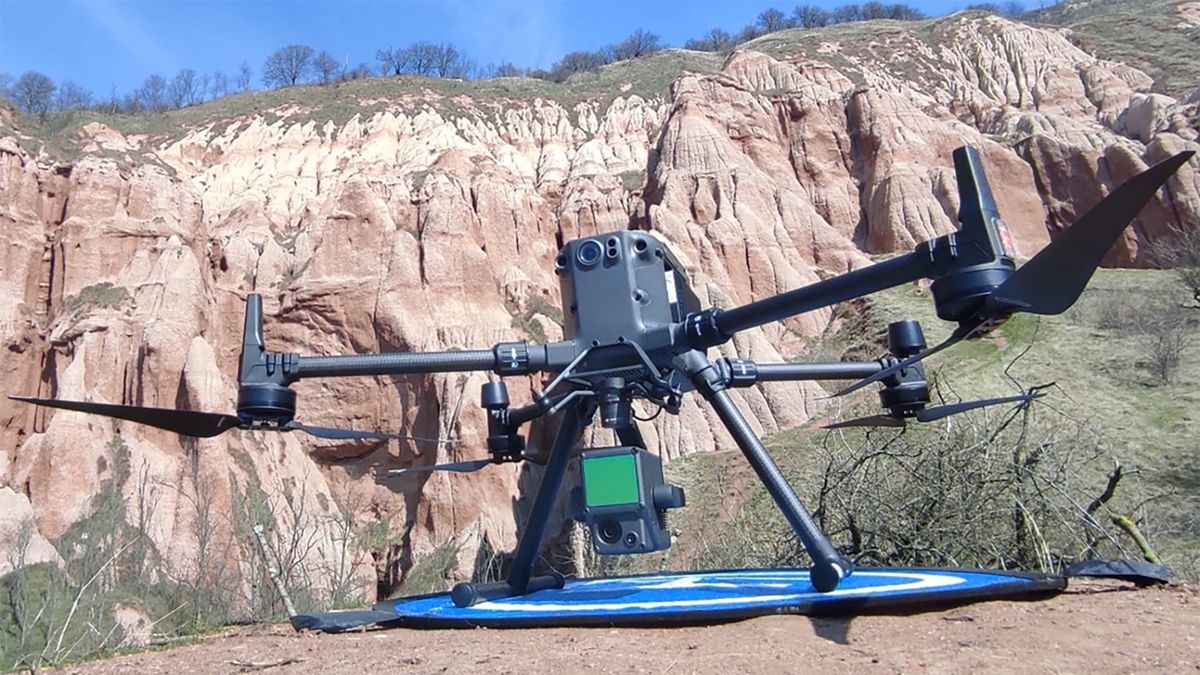
Photogrammetry, LiDAR and multi-sensor UAV surveys for high-resolution geological mapping.
Using UAVs equipped with photogrammetry, LiDAR and a range of other sensors, we produce high-resolution digital terrain and outcrop models. Drone-based mapping captures geological detail at scales and in places that would be impossible or unsafe to reach on foot.