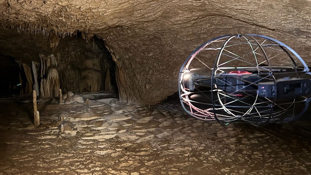
UAV mapping inside mines, caves and other GPS-denied environments.
We have developed workflows for mapping with drones inside mines, caves and other GPS-denied environments, where conventional positioning fails. This opens up detailed 3D documentation of underground and enclosed geological settings.